
River Flows

Here you will find links to USGS and NOAA sites with river flow information for the rivers of Whatcom and Skagit Counties.
River Flow Information
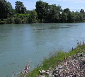
These links to river flow cfs (Cubic Feet per Second) graphs, Gage Height, stage, and forecast predictions can be used to plan a successful fishing trip. Nothing is worse then driving out to the river to discover that it is blown out, muddy and unfishable. These resources should help avoid that. Click on the below links for the Skagit river, Sauk river, and the Nooksack river to see current and forecasted flow levels.
USGS real-time data stream flow list for all of Washington State.Click here
NOAA River Forecasts and Data map for Whatcom and Skagit counties Click Here
[hr]
NOAA Forecast USGS Graph
Nooksack River near Ferndale
NOAA Forecast USGS graph
NOAA Forecast
Olympic Peninsula Rivers
Bogachiel River
Bogachiel River near Lapush
NOAA Forecast USGS graph
Calawah River
Calawah River Near Forks
NOAA Forecast USGS graph
Elwha River
Elwha River above Lake Mills
NOAA Forecast USGS graph
Hoh River
Hoh River at US Hwy 101 near Forks
NOAA Forecast USGS graph
Humptulips River
Humptulips River below Hwy 101
NOAA Forecast USGS graph
Sol Duc River
Sol Duc River at Quallayute Rd.
NOAA Forecast
Washington Rivers Gage Height map
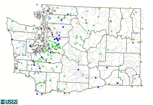 Click image to go to USGS site with real time streamflow for all of WA.
Google maps version